Elevate Your View with Dronehawk Aerials
FAA-certified licensed and insured drone photography, construction documentation, 3D mapping and video productions for the Colorado Front Range including the Boulder and Colorado Springs area.
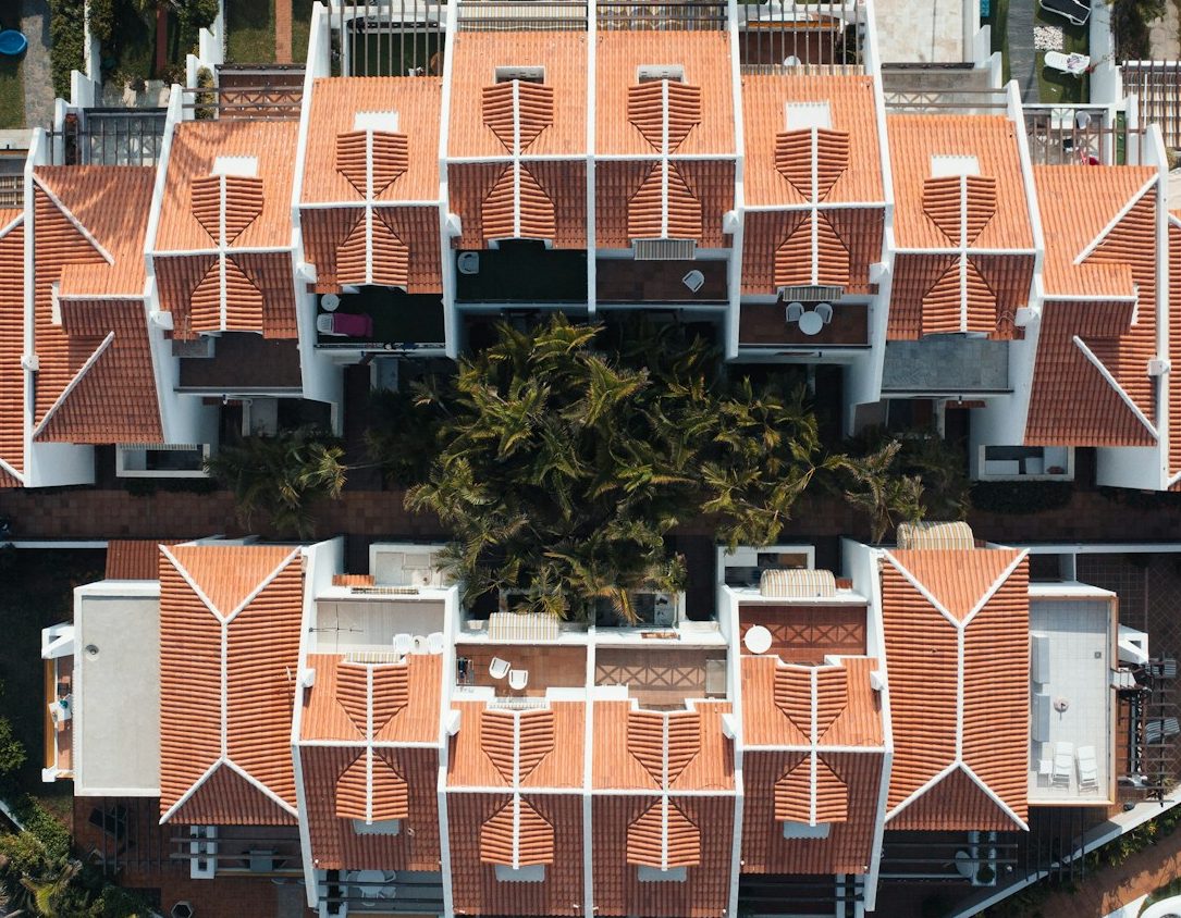
What can Dronehawk Aerials Do for You
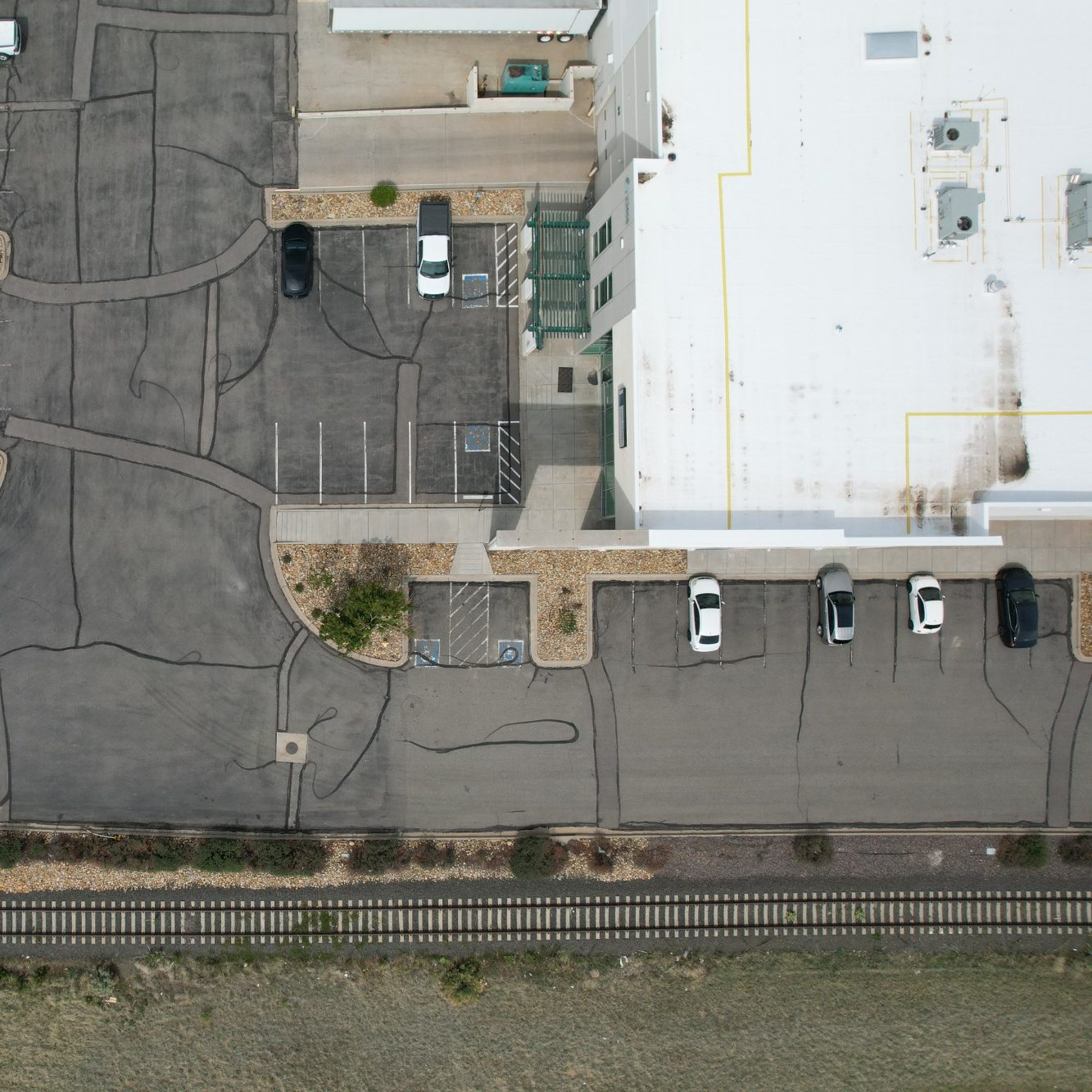
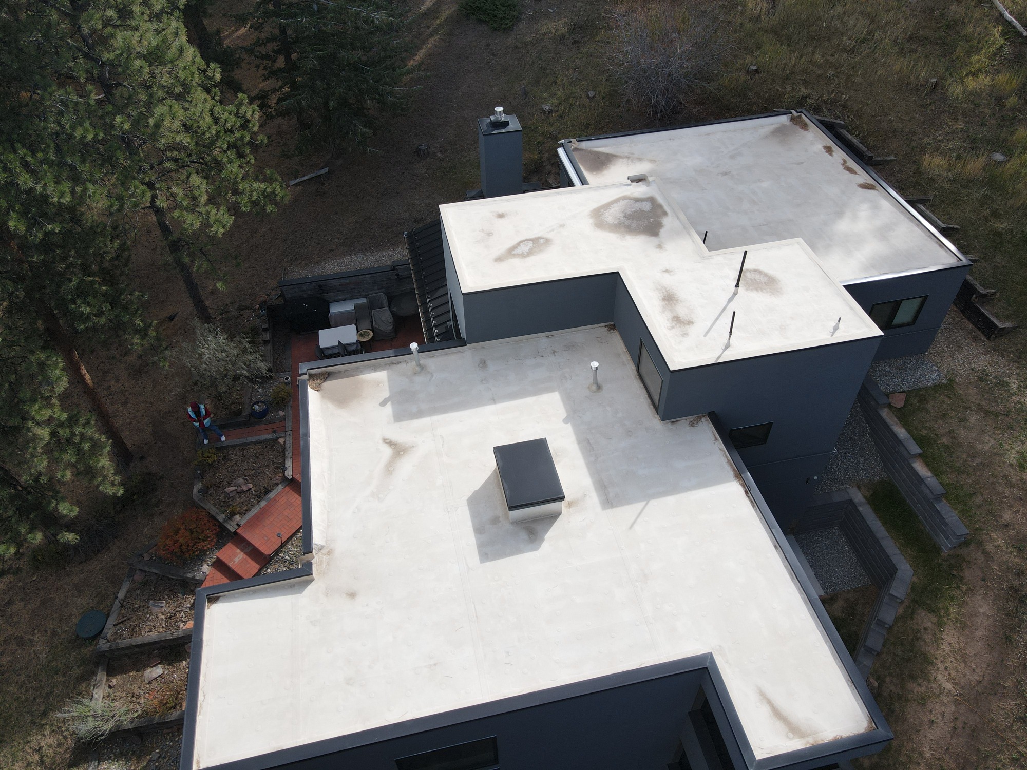
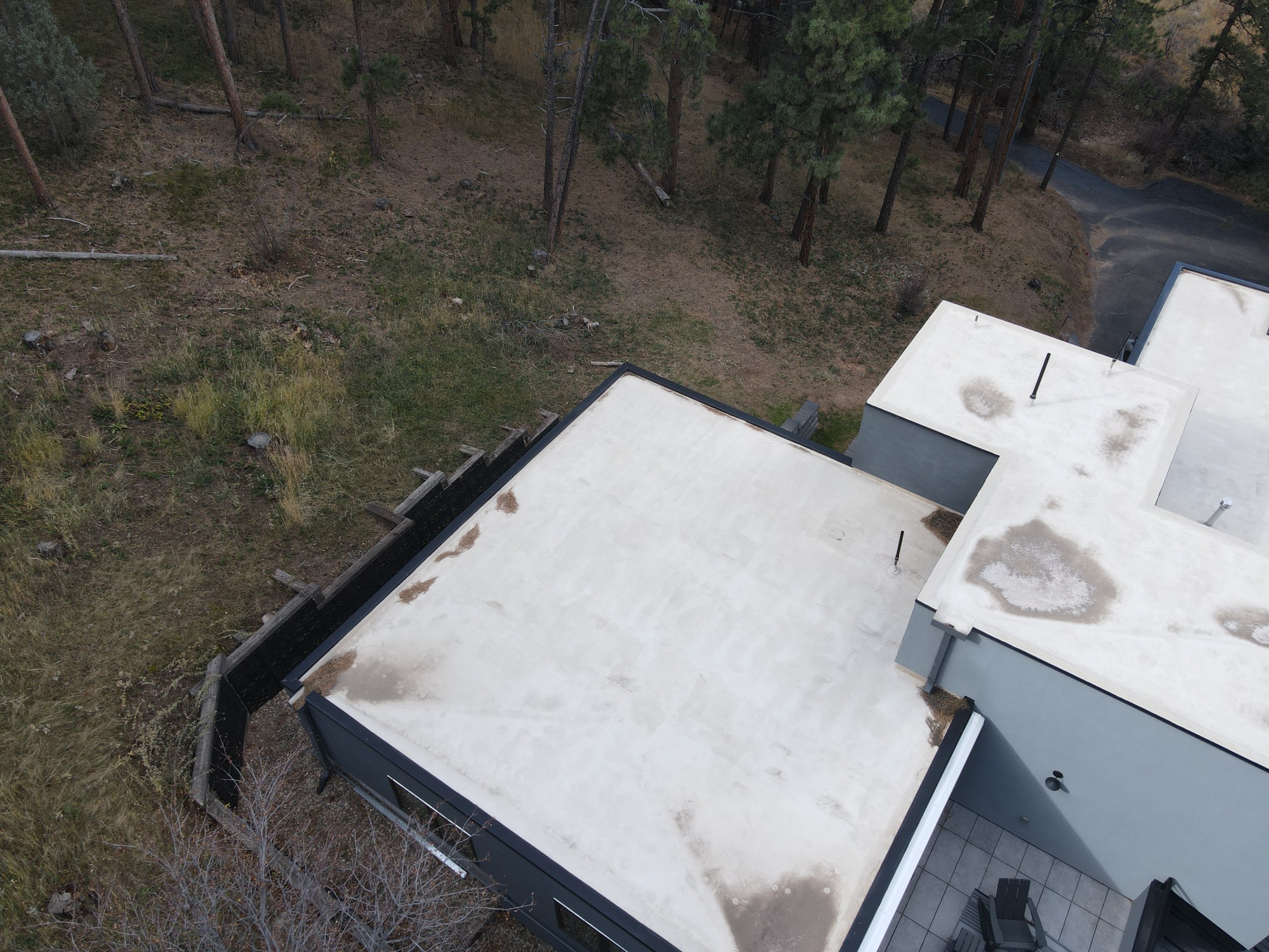
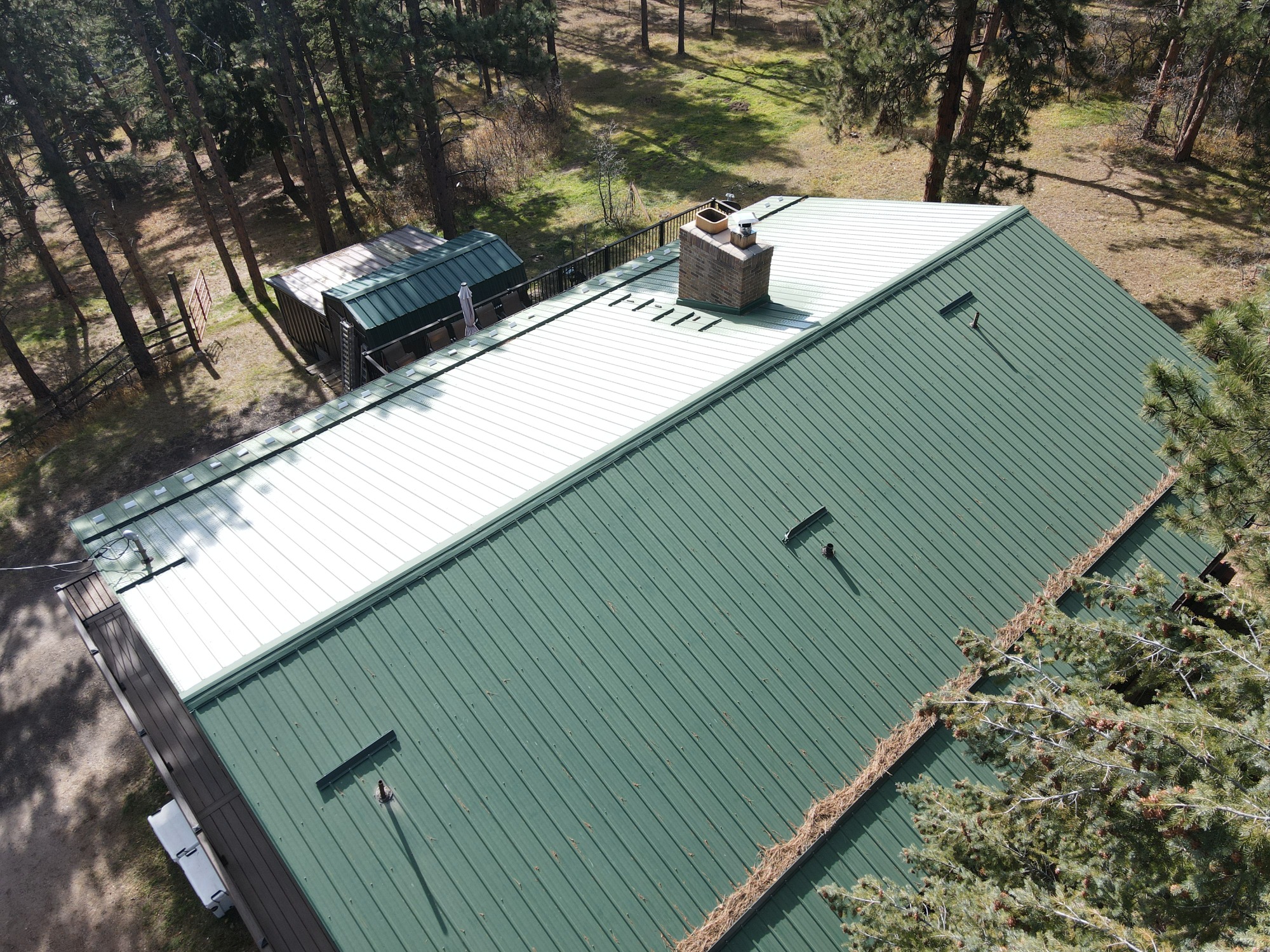
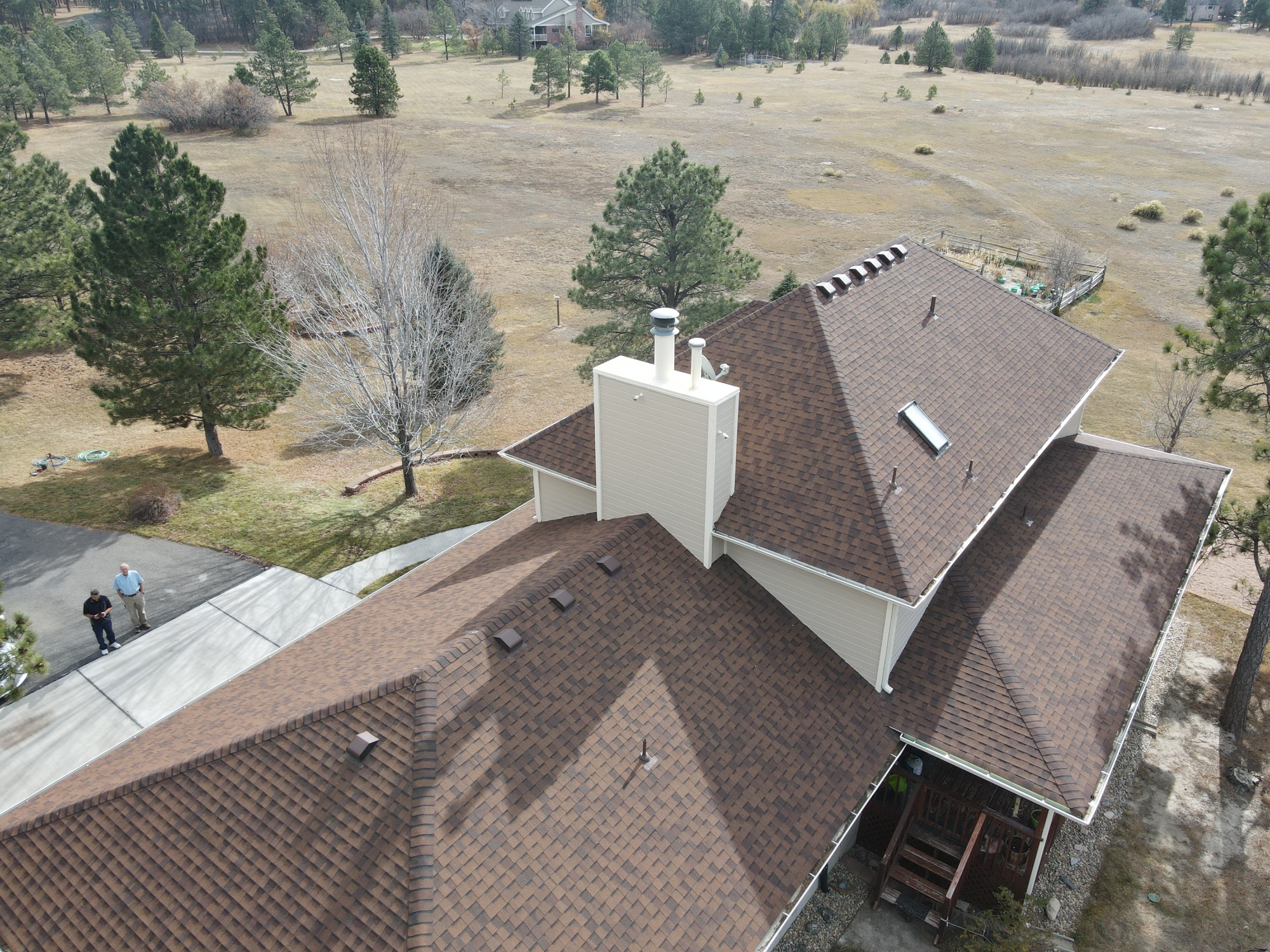
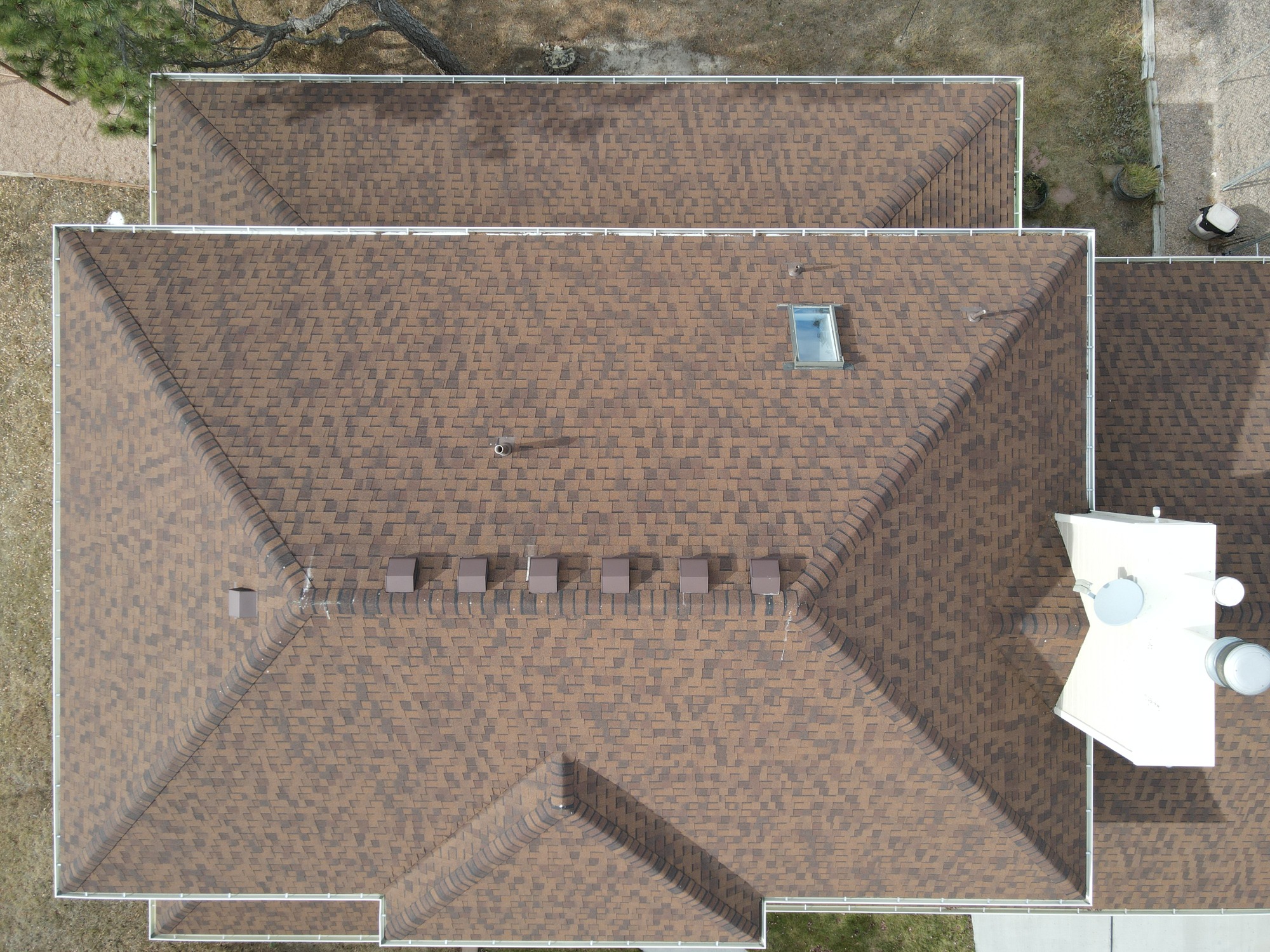
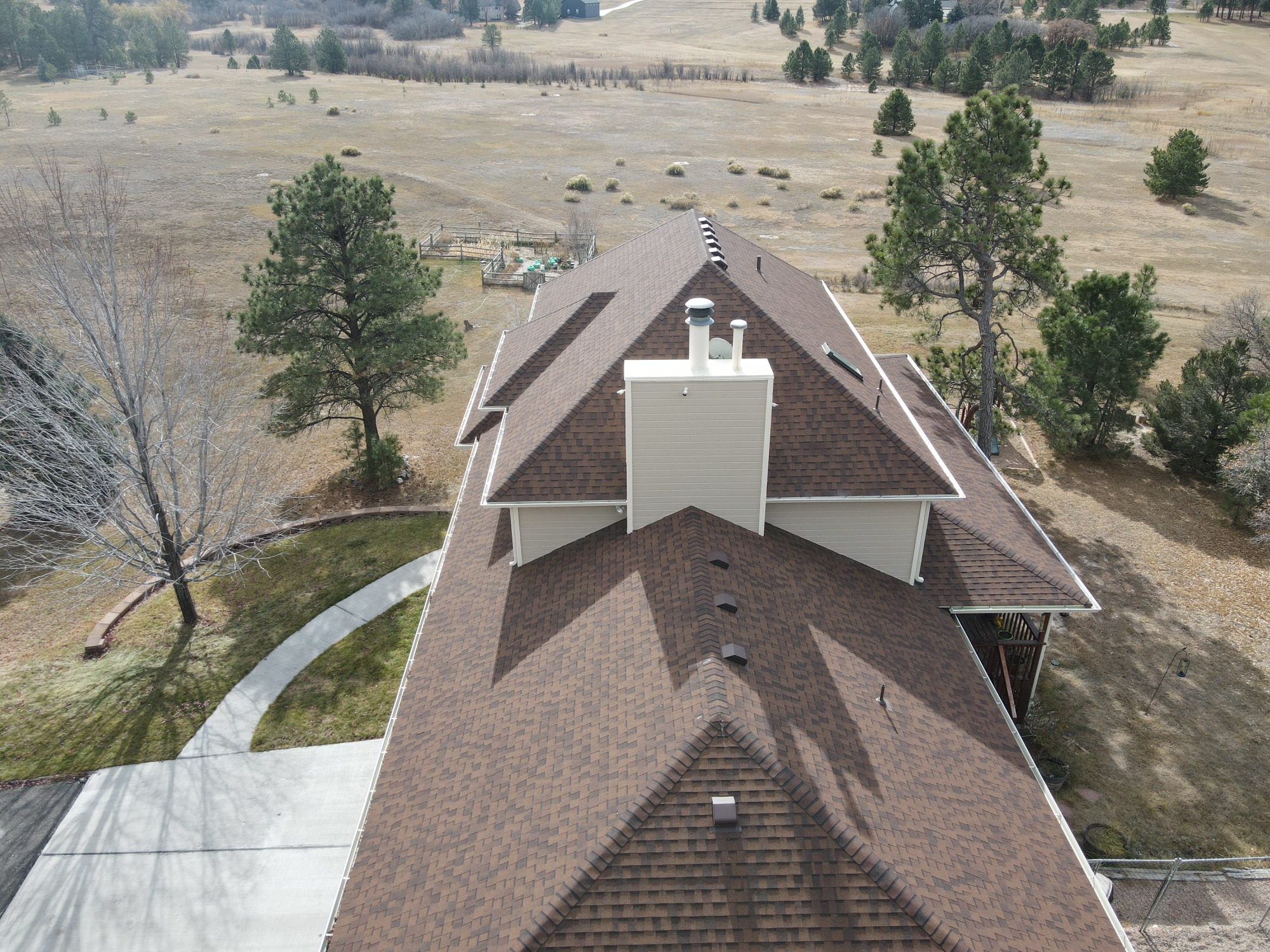
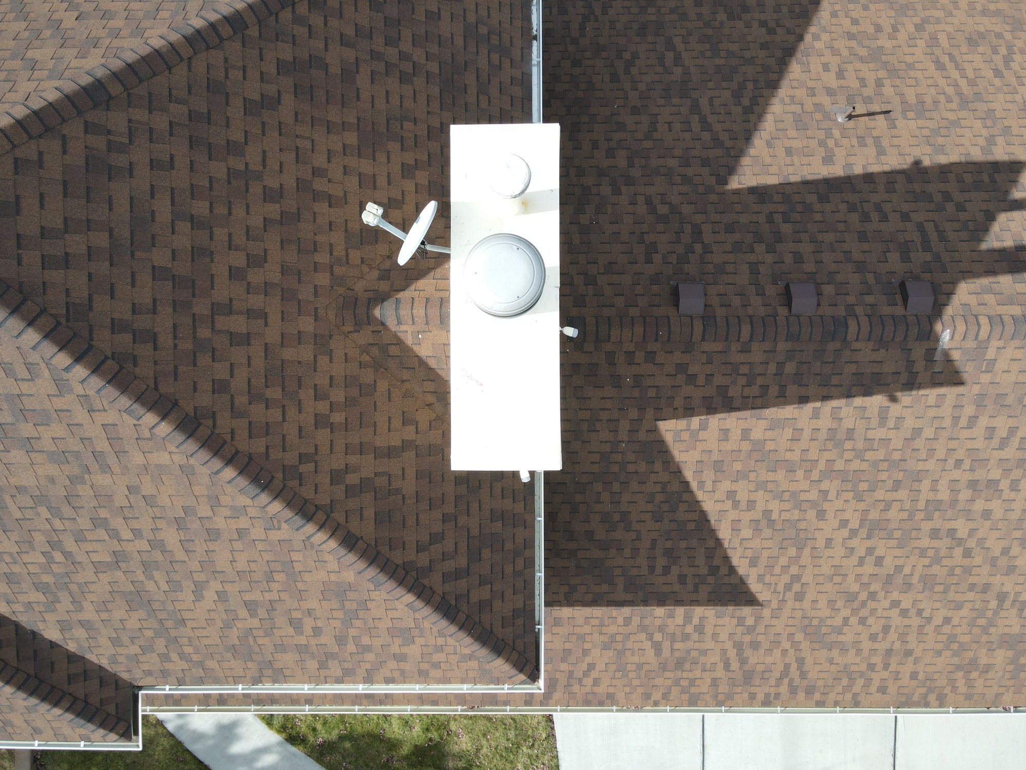
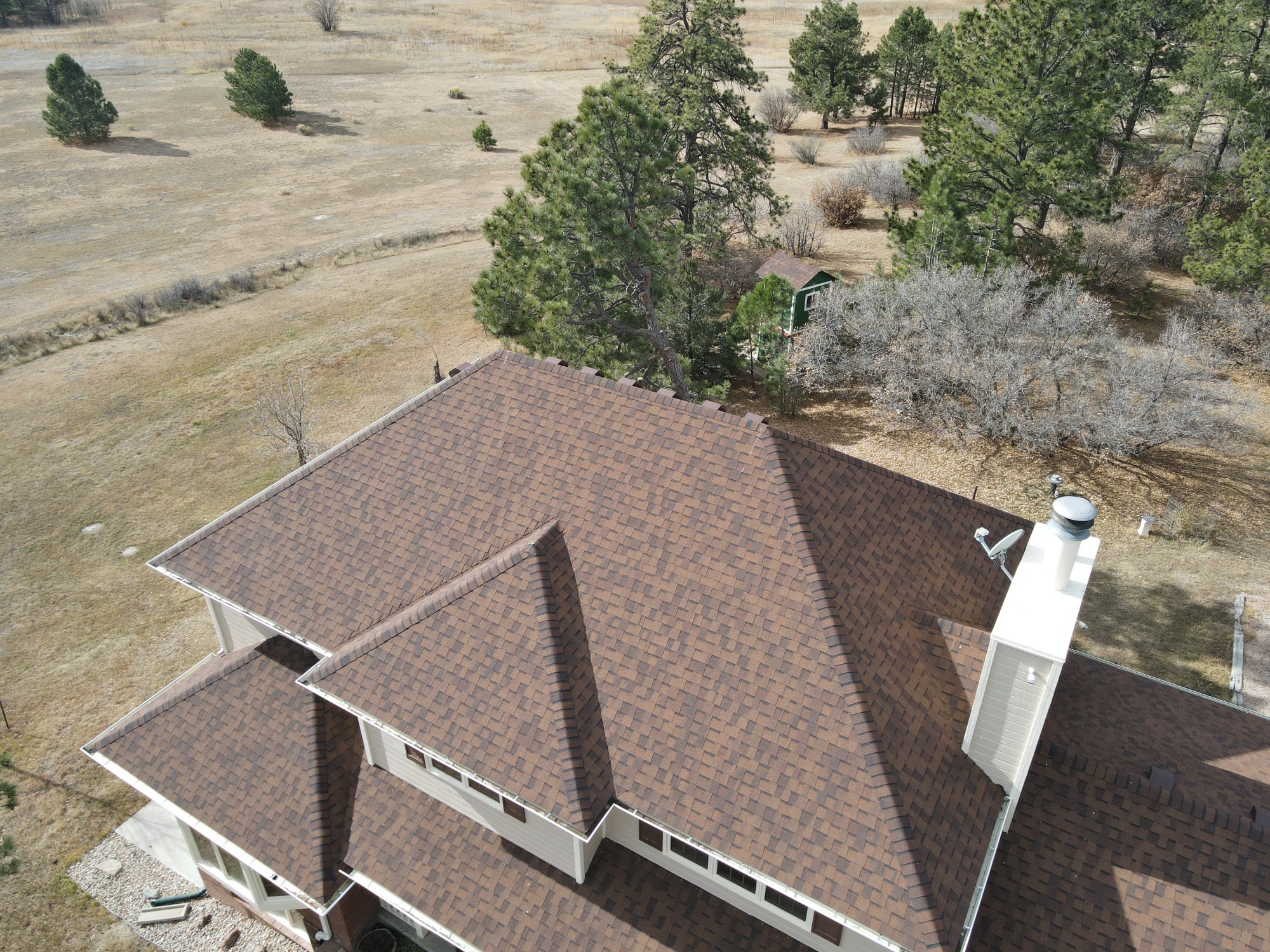
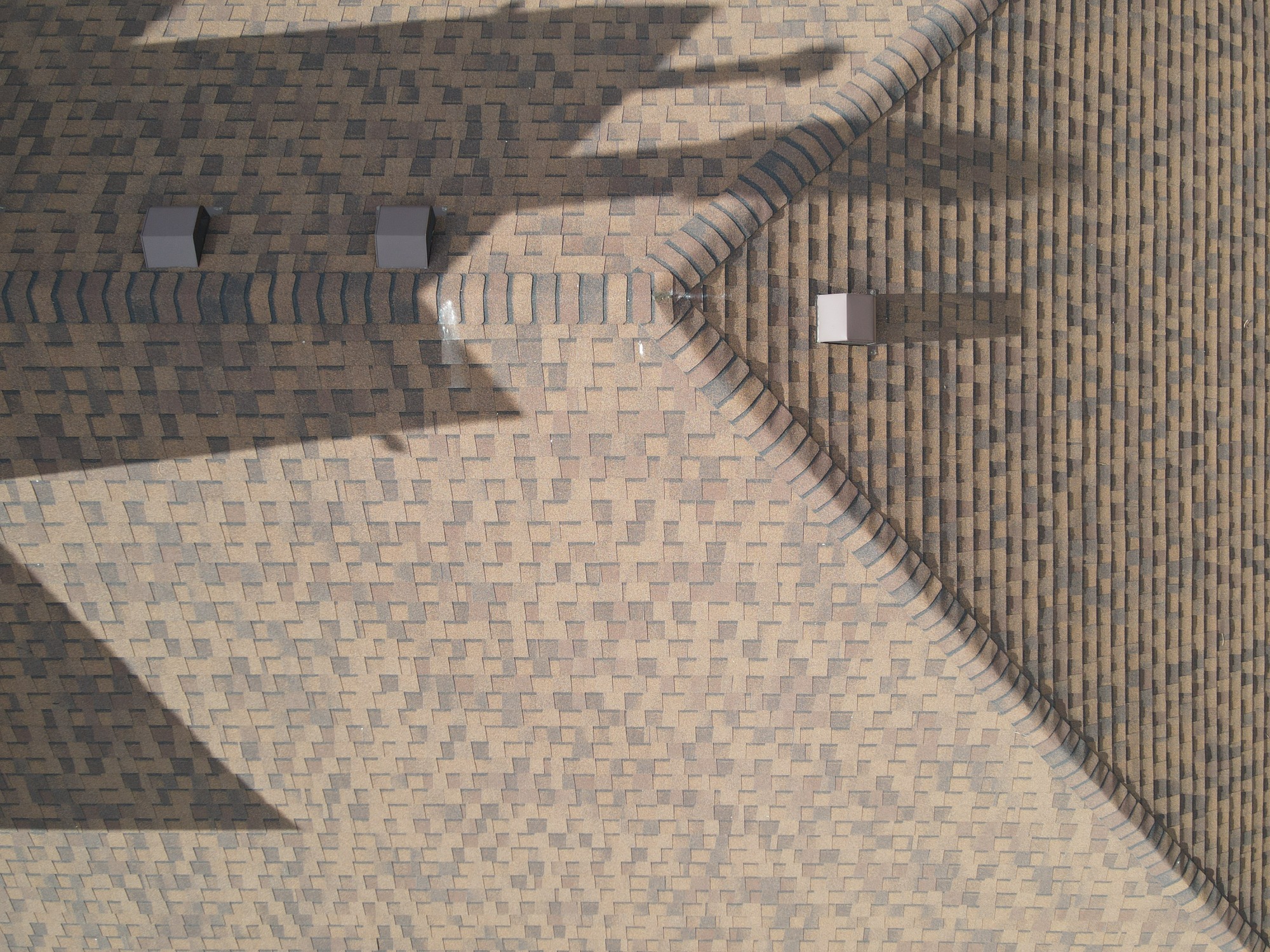
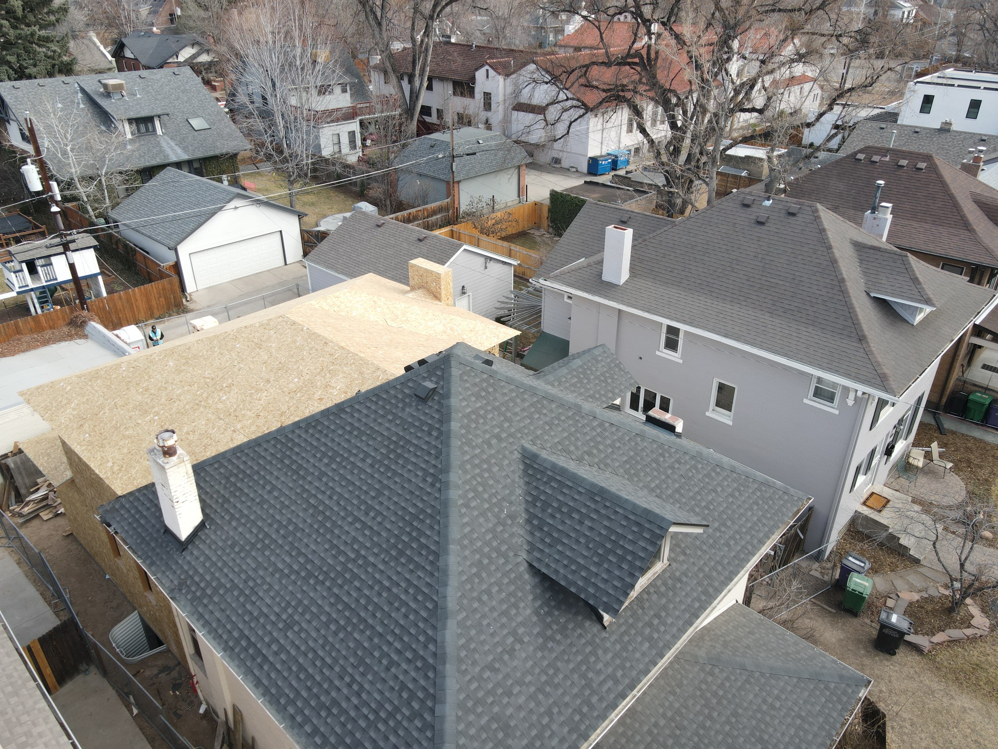
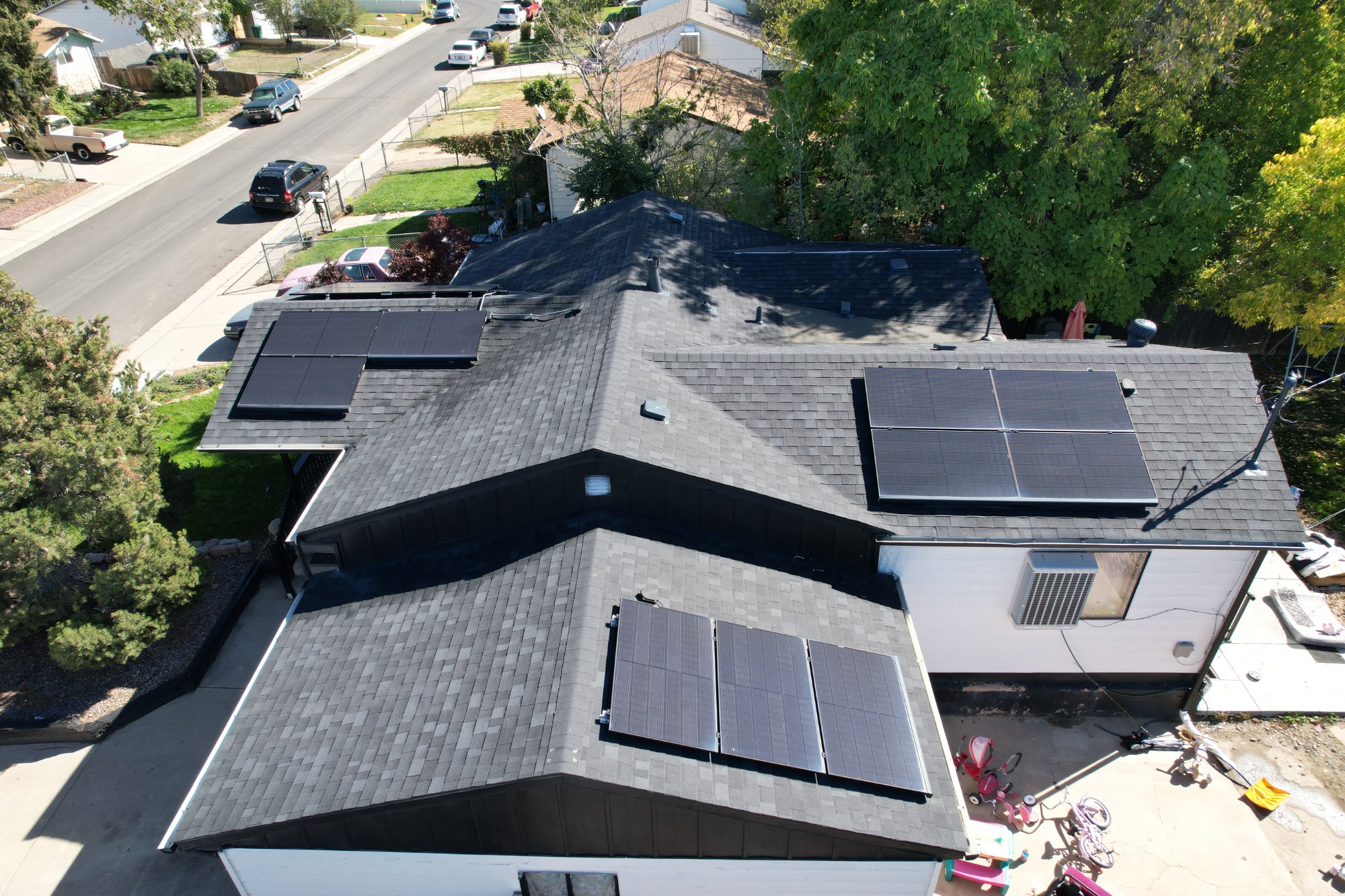
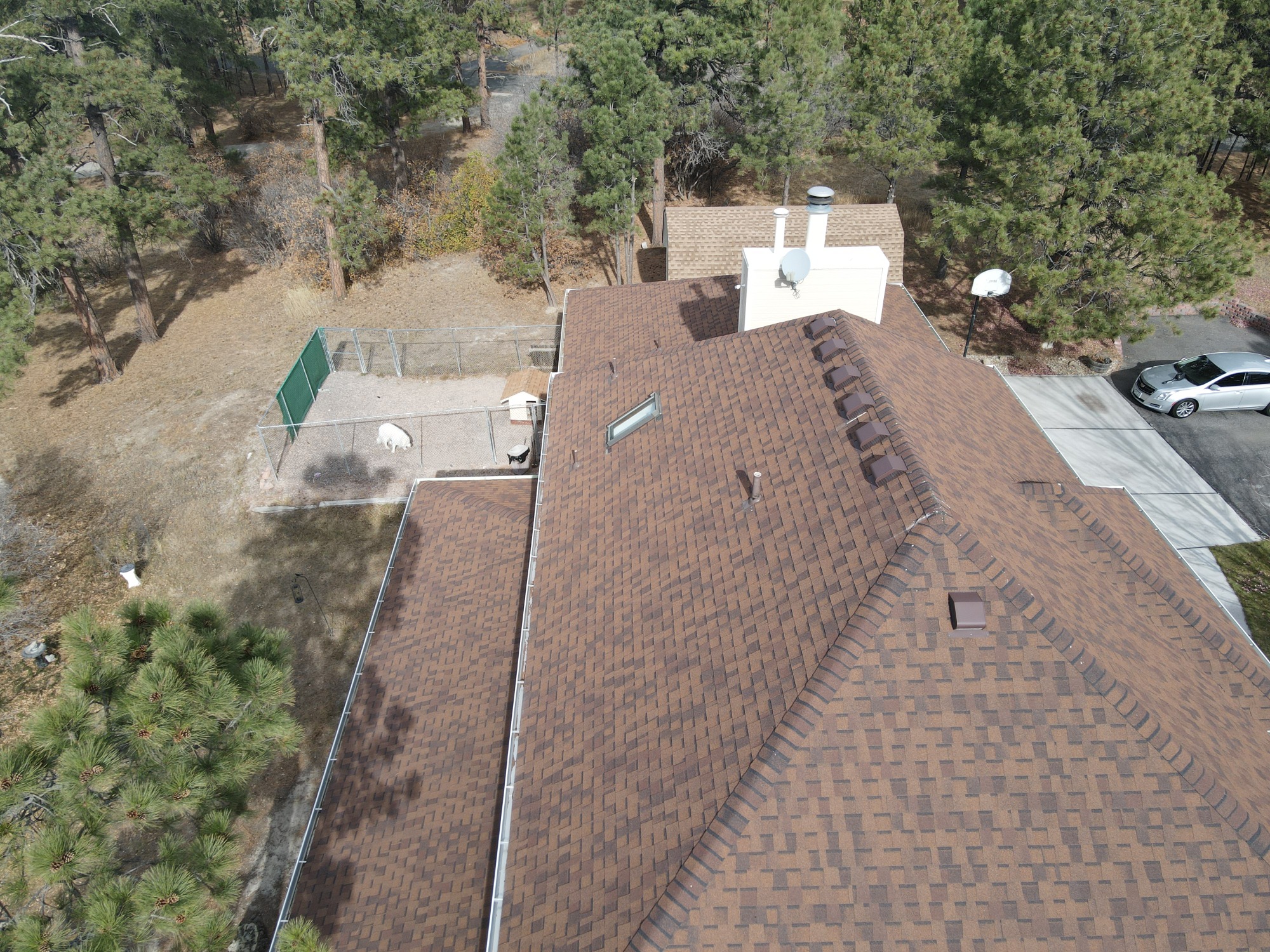
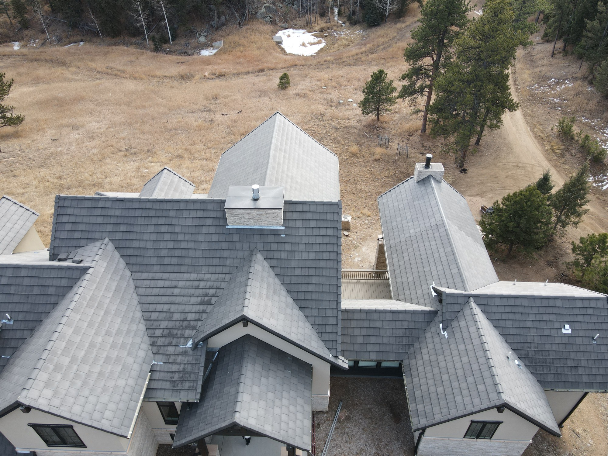
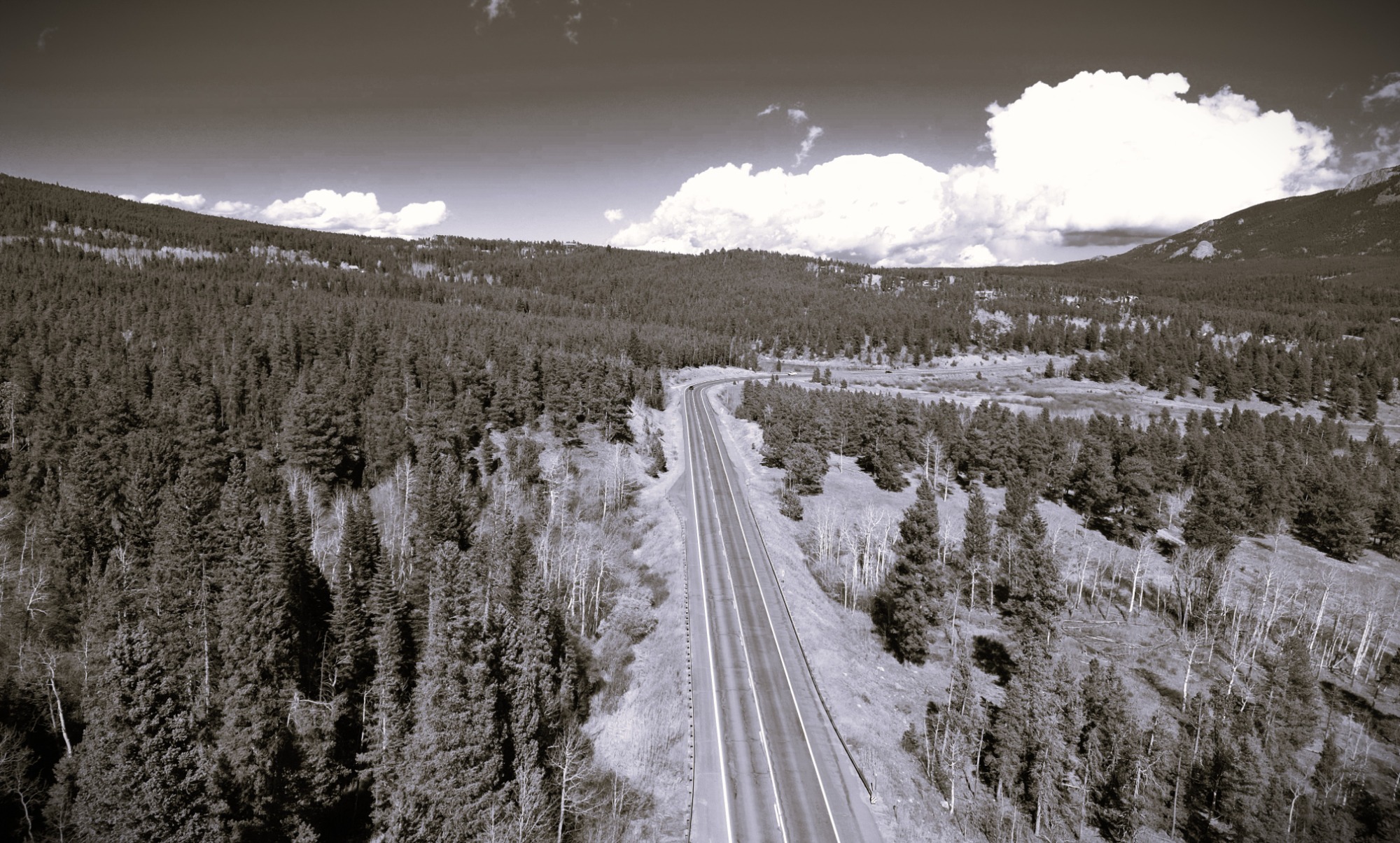
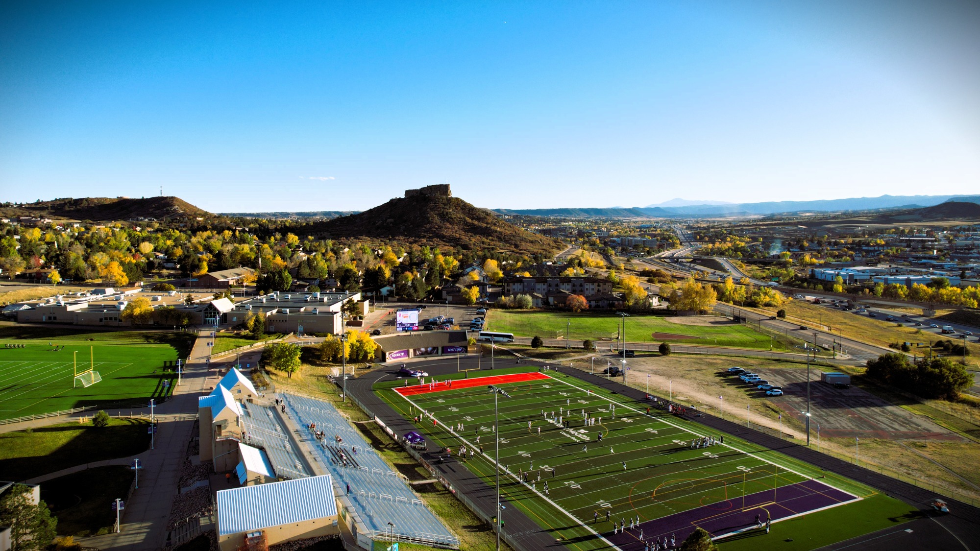
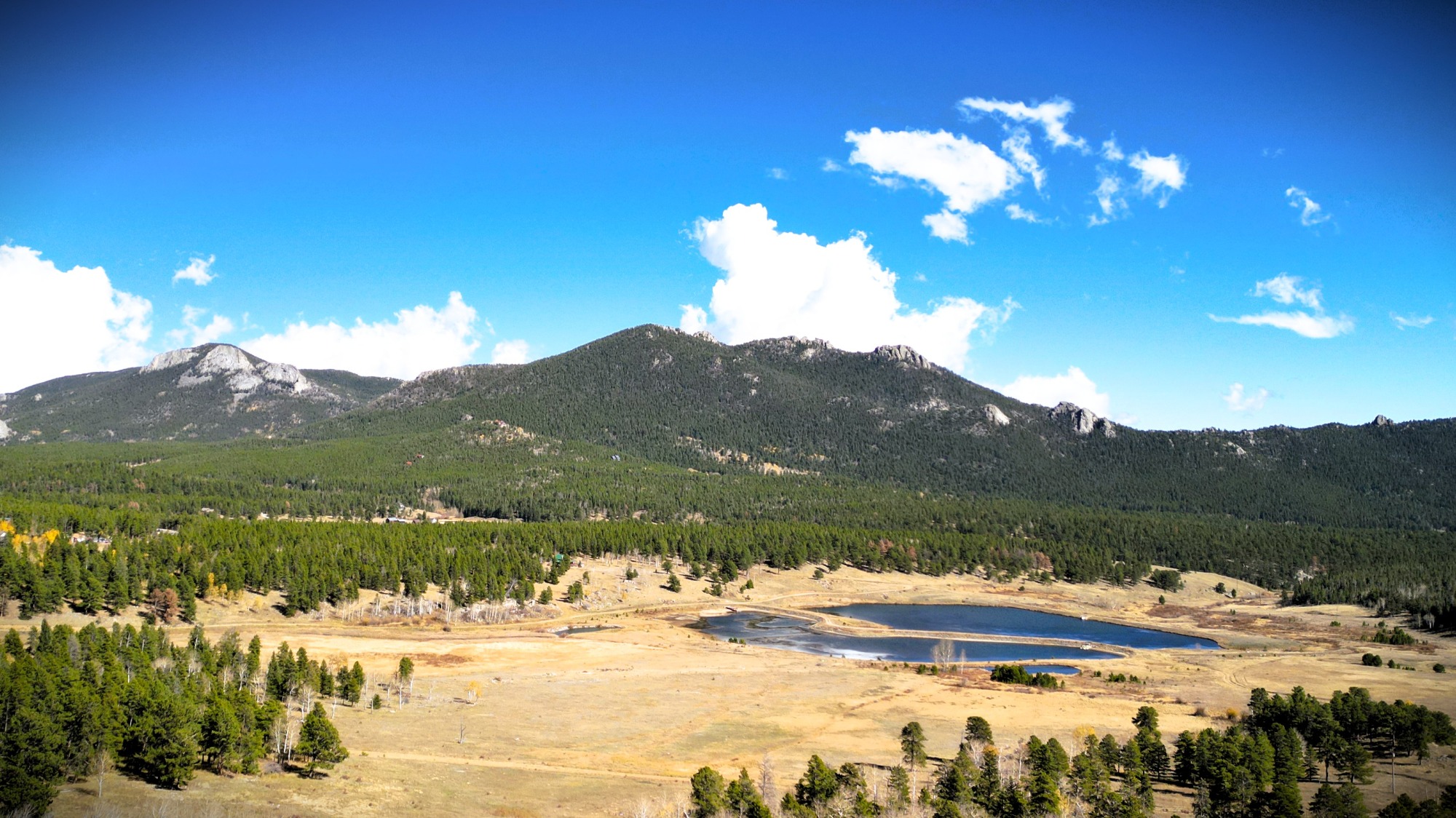
From assessing structural integrity to identifying maintenance needs, our high-resolution aerial imagery captures it with the utmost precision and quality.
We work hard to deliver comprehensive insights for all homeowners, real estate agents, and construction experts.
We are FAA licensed and insured.
Cutting-Edge Technology
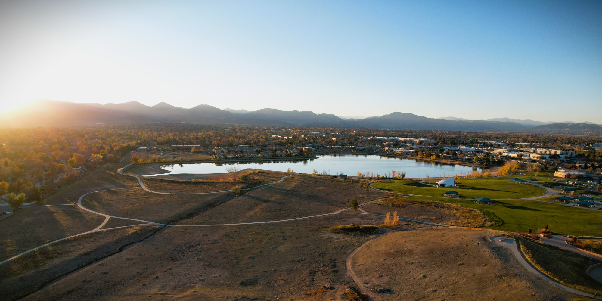
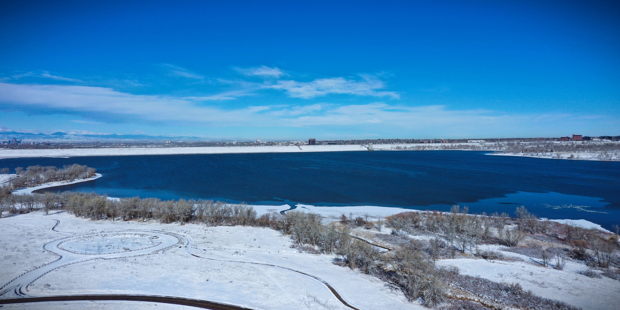
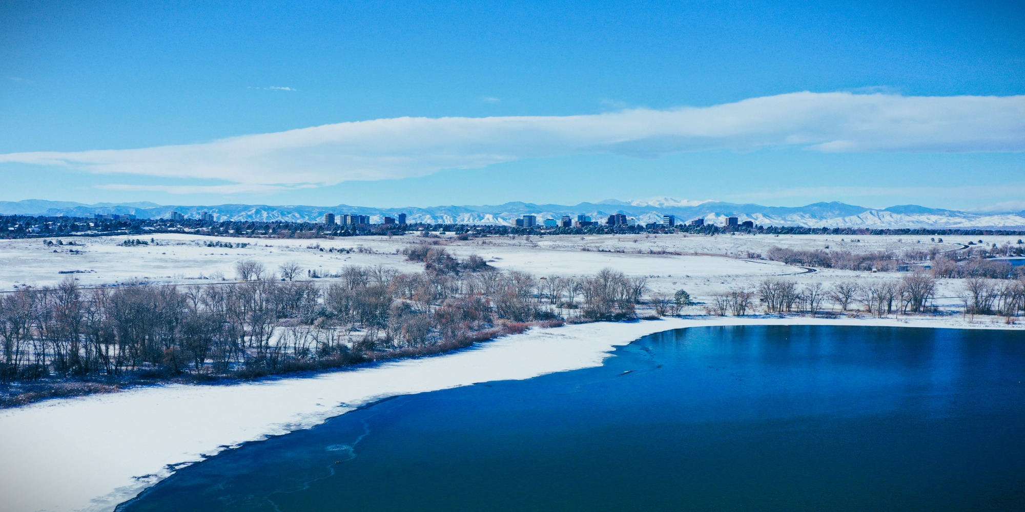
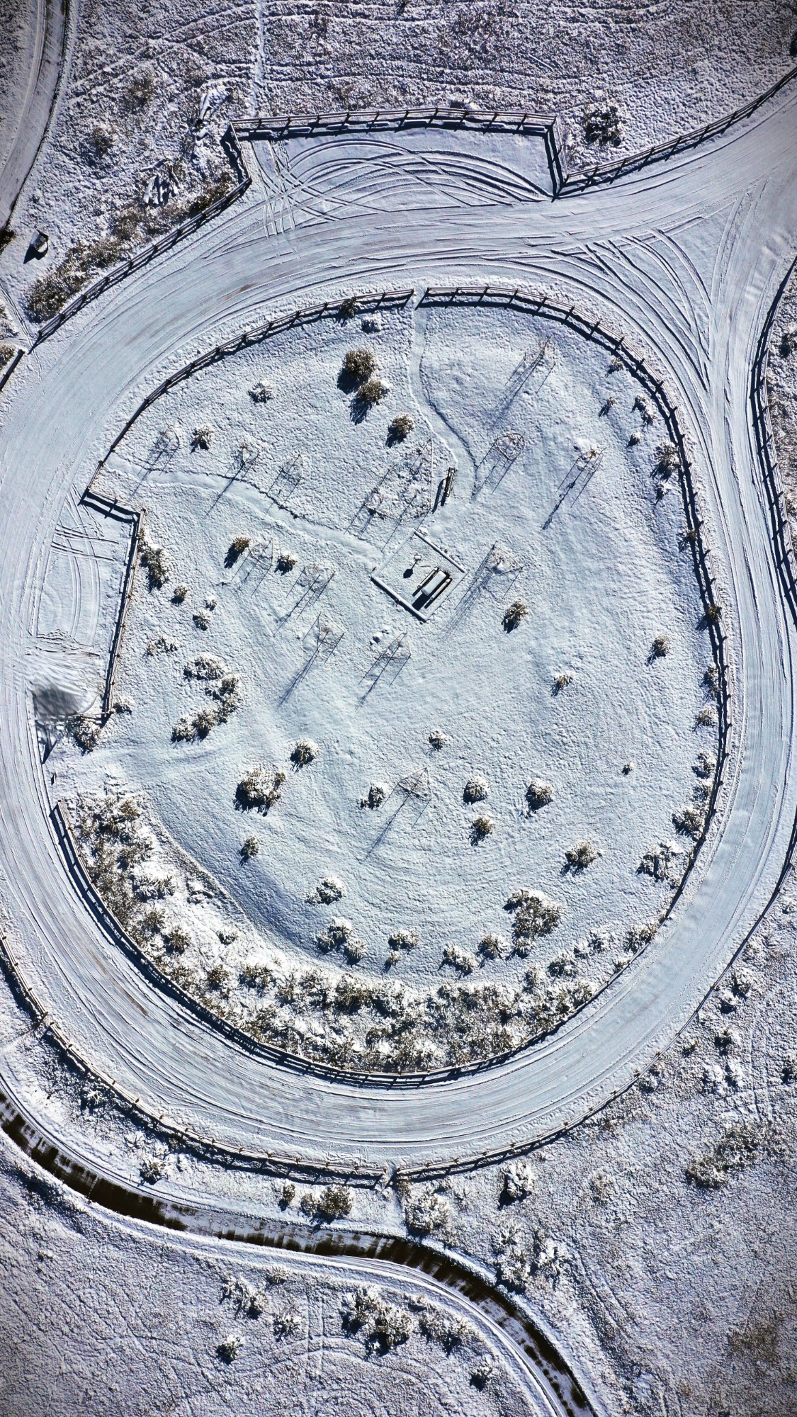
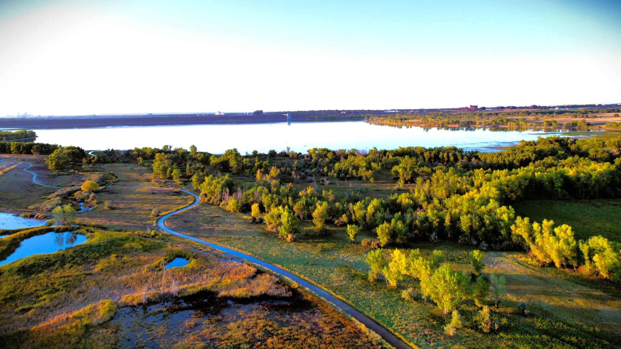
Utilizing the latest drone and software technology for unrivaled aerial imagery.
Gallery
Portfolio
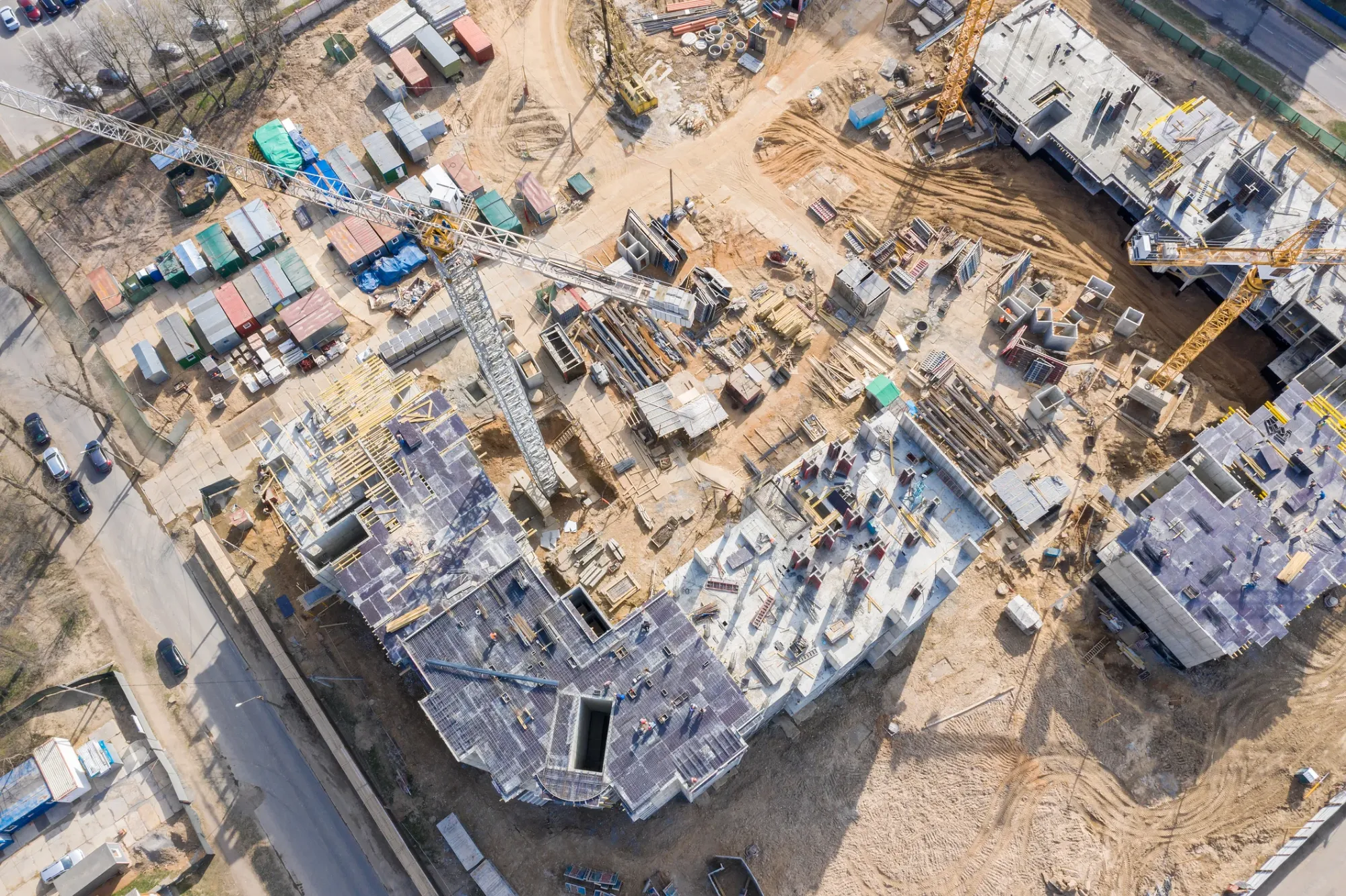
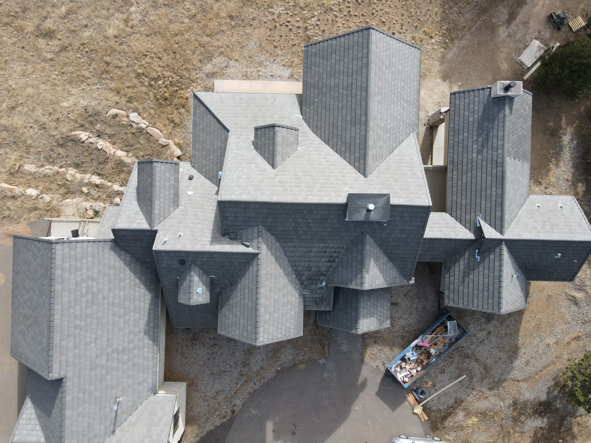
Comprehensive Assessments
Providing in-depth insights for properties of any size.
How much does it cost?
The cost of our drone services depends on the specific needs of your project, such as the duration of the shoot, location, and complexity of the shots. We offer competitive rates and will provide you with a free quote after a consultation to discuss your project.